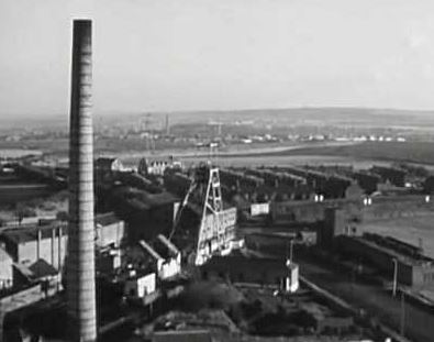
Klondyke Coillery
Newcraighall coillery The colloquial name of the Newcraighall coillery was the Klondyke pit. The word Klondyke has two meanings: old fashioned, or bountiful. The latter

Ultimate 5 movies filmed in Scotland
There’s something unique about the Scots, a certain indefinable quality that sets them apart. And this probably has much to do with their homeland of
The History of Caledonia – The Romans in Scotland.
The might Roman Empire, a powerful, unstoppable force that swept across southern Europe and beyond, between 27 BC and 476 AD. They brought culture, civilization,
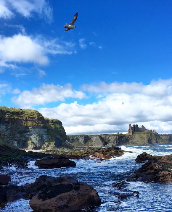
10 Tantallon Castle Facts
Castles in Scotland Castles have been around for a long time – from about 1066 onwards, in the United Kingdom, and a couple of hundred

10 Drumlanrig Castle Facts You have to know
History of castles in the UK For such a small island, the United Kingdom has a lot of castles. Estimates vary, but between England, Wales,
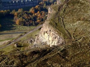
5 tips to climbing Arthurs Seat
Climbing Arthur’s seat is a fun and great way to see Edinburgh. It provides views and vistas of an ancient city that is still thriving.